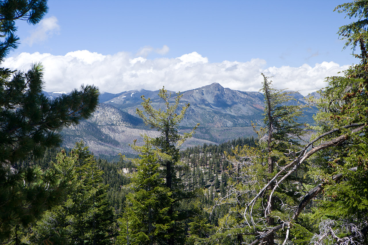

This is looking a bit more toward the west than the prior photo (left). Some clouds are starting to push over the mountains.

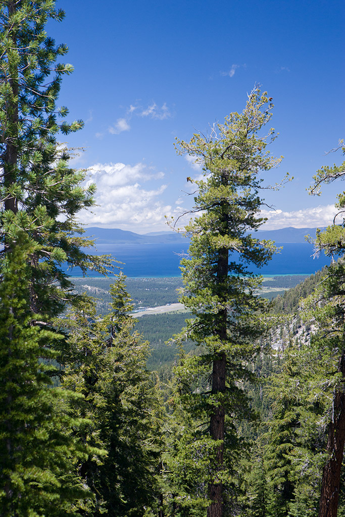
This is another angle through the trees. Again, the airport is clearly visible.
 |
||
| This is our turnaround point. The trail continues on indefinitely (It's a circle!). In this photo you can see Lake Tahoe and the Tahoe Airport landing strip. You can also see some of the burned area from the 2007 fire. | ||
 |
||
This is looking a bit more toward the west than the prior photo (left). Some clouds are starting to push over the mountains. |
||
 |
||
This is another angle through the trees. Again, the airport is clearly visible. |
||
| Next Page | Photo Table of Contents | Home |