|
|
||
|
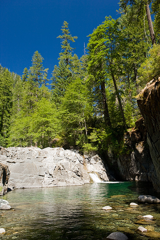
Yep. That's it on the right. That 2.5ft cascade is Wilderness Falls. So this begs the question. 1) Was the trail book wrong? 2) Did we hike to the wrong place? 3) Did the drought year and August timeframe cause the rock there to sink 40ft into the ground? Let me do my best to fill in what I know. Aside from our trail book that describes the fall as a 35ft drop and others as a 50ft drop, the overall descriptions from source to source is very consistent (Gorp Site's description). I checked the GPS at the time and the GPS tracks after we returned, I downloaded aerial images of the area, and this indeed is the correct location. In fact, I found several photos of Wilderness Falls and this is what they show. So what gives? First, the pool at the fall's base is fairly deep, and there is evidence that in the spring water flows over the entire rock edge. Could the system have changed over the years and the descriptions just never got updated? Did the creek fill up with more sediment and debris raising the level in the pool? Does the water in the spring come into the pool from the right side rather than from Clear Creek or does the spring runoff really make this a completely different animal? These questions have rattled my brain and I still don't know what to make of it. Aside from blog sites like mine, I've been unable to find any "official" pictures of this feature on major government or recreational sites. If anyone has or finds more details than I did, please drop me an email. |
||
|
|
||
|
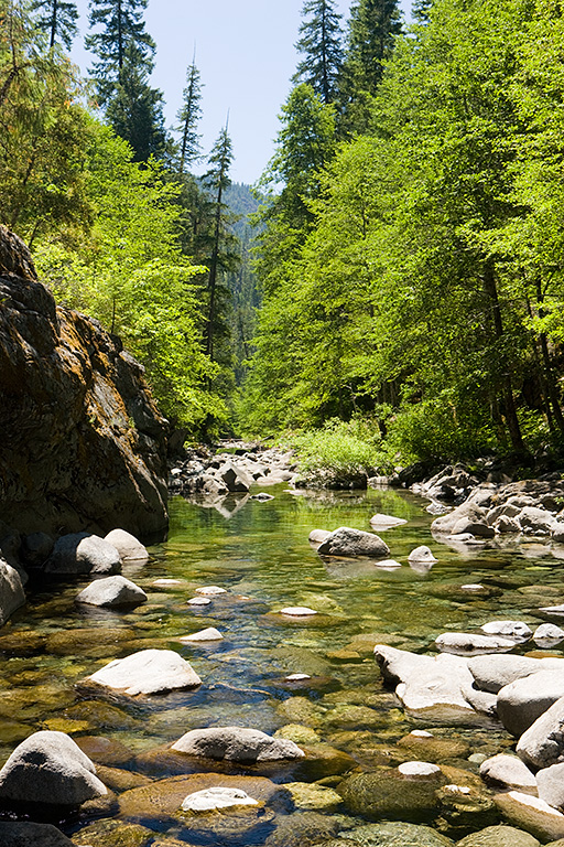
Looking down the creek the other way, you can see quite a boulder garden. |
||
|
|
||
|
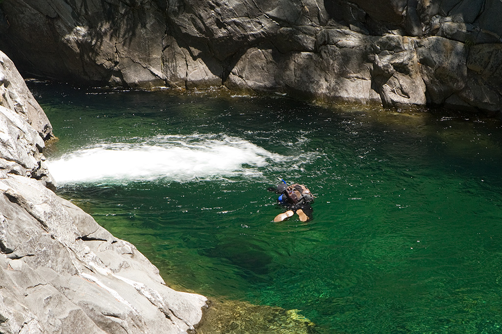
We ran into a couple guys that had hiked up here from downstream (we came in from upstream). They planned to snorkel their way back down the creek. Here Alan takes a picture of the bubble wall. As you can see, the pool is much deeper than it appeared in the other photo. |
||


