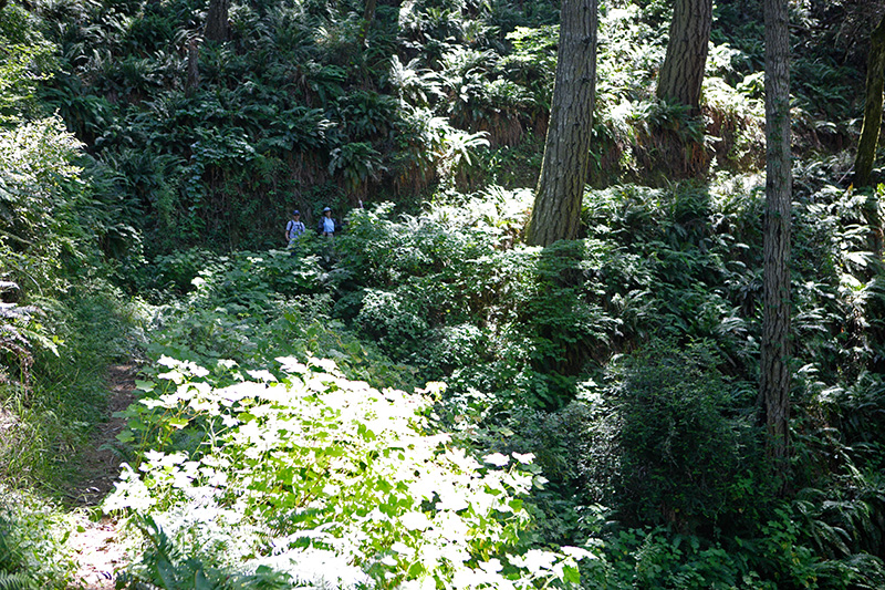
This time I let them get ahead of me for another shot of the "trail." We never quite made it to Little Jackass Creek. The fog was right up against the coast making it impossible to see the ocean from the trail (800-900 feet below us). When standing on steep cliffs we could often hear the ocean below, but only caught glimpses during rare breaks in the fog. Before descending down to Little Jackass Creek (see map tracks) we decided it was a waste to lose all that elevation only to see a foggy creek and beach. Little Jackass Creek is the stream just below Mistake Point on the map. So before descending down to the creek we turned around and headed back. The heavy fog also eliminated Andra's seal watching.
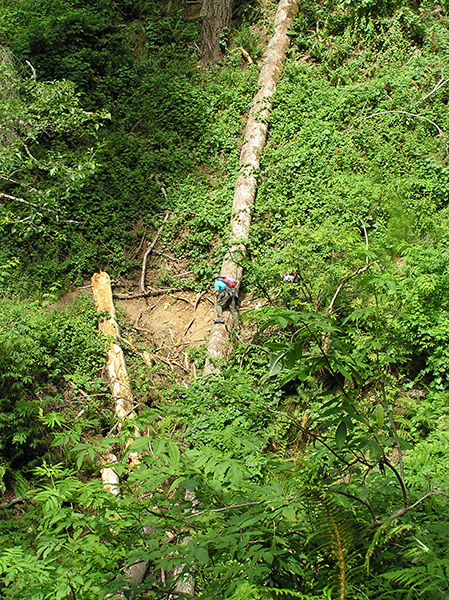
At one point we came across another downed tree. This tree was just within the range of my hand saw. It took me 15 minutes or so to cut my way in towards the trunk. After cutting the trunk, I dumped the remains off the trail. The really unfortunate part about all the downed trees is that hikers were already eroding and undermining this section of the trail by going down the hill and around.

