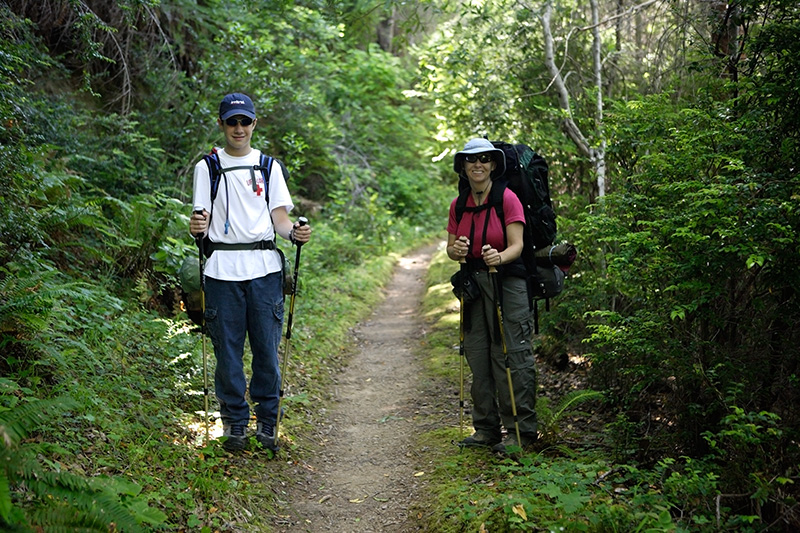
Most of the trail was heavily overgrown; however, after you gained enough elevation (600-800ft) short stretches of the trail were clear. It appears that the $27 they charge to let you walk on land preserved so that future generations can walk on it, does not go to trail maintenance. Personally I think it goes to pay the salary of the person collecting the $27. Government genius at work. Future generations please note: Bring a machete.
We spent much of the time pushing through thick vegetation, poison oak, and stinging nettle. Numerous downed trees made dangerous spots to navigate with full packs. A forest "worker" running a chainsaw would be a nice change from the currently deployed forest "fee collector."
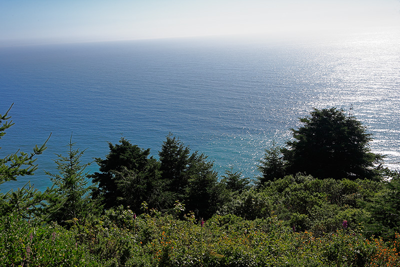
It was about here where I launched into my San Andreas Fault - "What to do if the ocean starts receding like someone pulled the drain plug" - tsunami speech. If you think the correct course of action during such an event is to run onto the beach and pick up stranded fish, perhaps you shouldn't seek work as a brain surgeon.


We arrive in Wheeler much later than we expected (~7:30p). The trail sign at Orchard Camp said 4.4 miles to Wheeler, but the GPS said we hiked 5.7 miles. This distance matches my other sources about the Lost Coast Trail. Perhaps the park officials don't realize the sign is wrong, or maybe they do but can't afford to fix it because they spend all the park fees on trail maintenance...err I mean fee collectors...
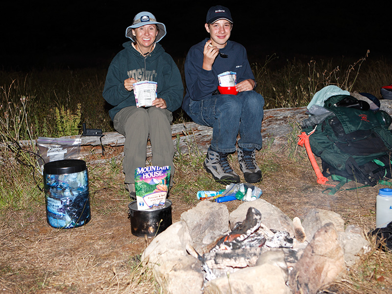
That being said, we arrived in plenty of time to set up camp before dark. Here, as Andra and Brian enjoy a tasty batch of dehydrated food, I took a campfire photo.