 |
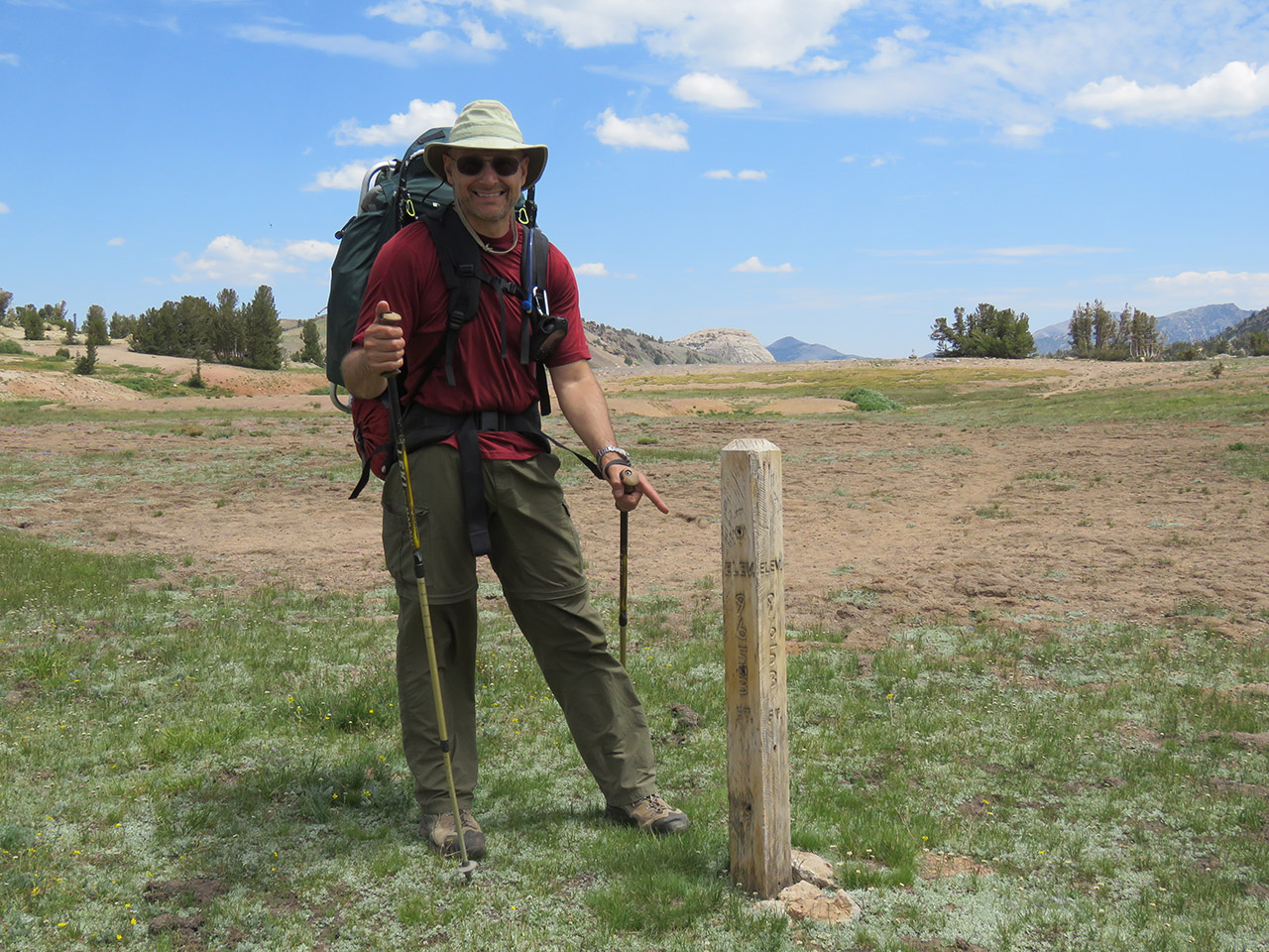
| We find an elevation marker at the top. The GPS was showing about 9,650 also. No wonder that steep cutoff trail was taking so much out of me! |
 |
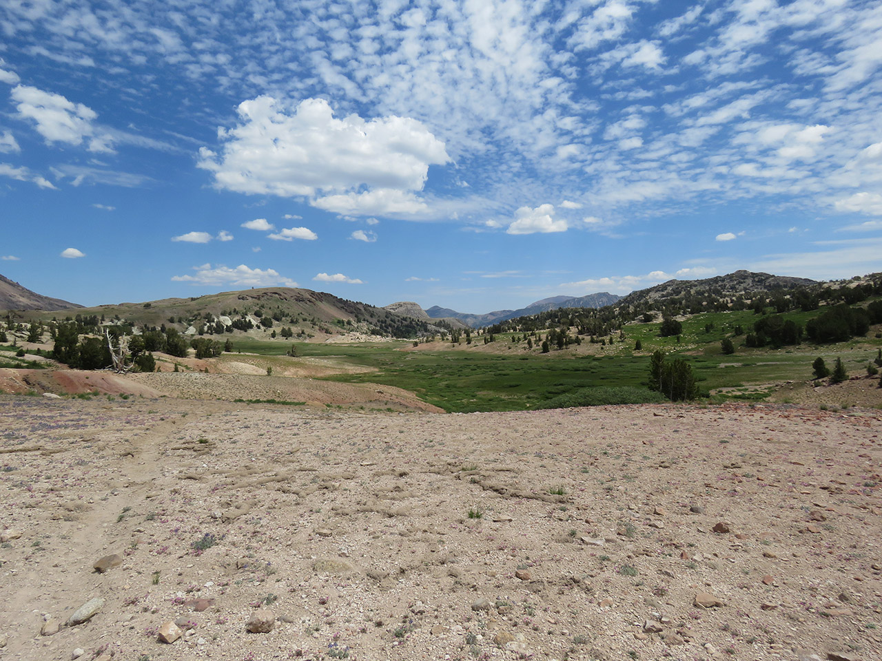
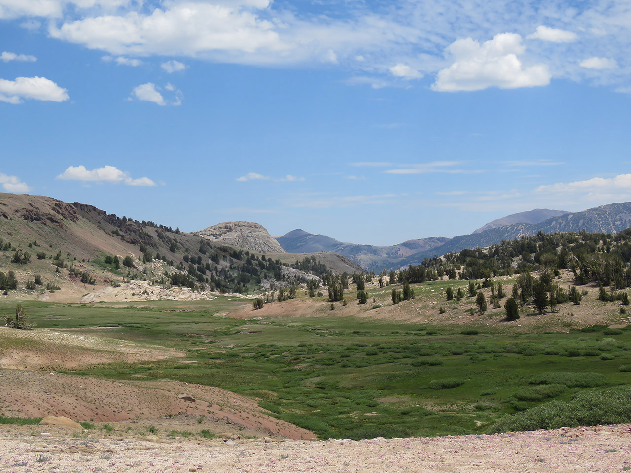
| The promised land! You can see the trail on the left of this picture, but it ends at the bottom of the hill in about 100 feet. Why no trail? We are now back to one of the "intermittently used" trails. This meadow is so wet and lush, that there is no trail across it. We must find our own path through the creeks and mud. The drainage you see at the far end is our path down from heaven. |
 |
| First things first. I'm out of water again! All that climbing and my water bladder is bone dry. We dropped down here and filled our water containers before continuing across to the other side. |
| Next Page |
Photo Table of Contents |
Home |


