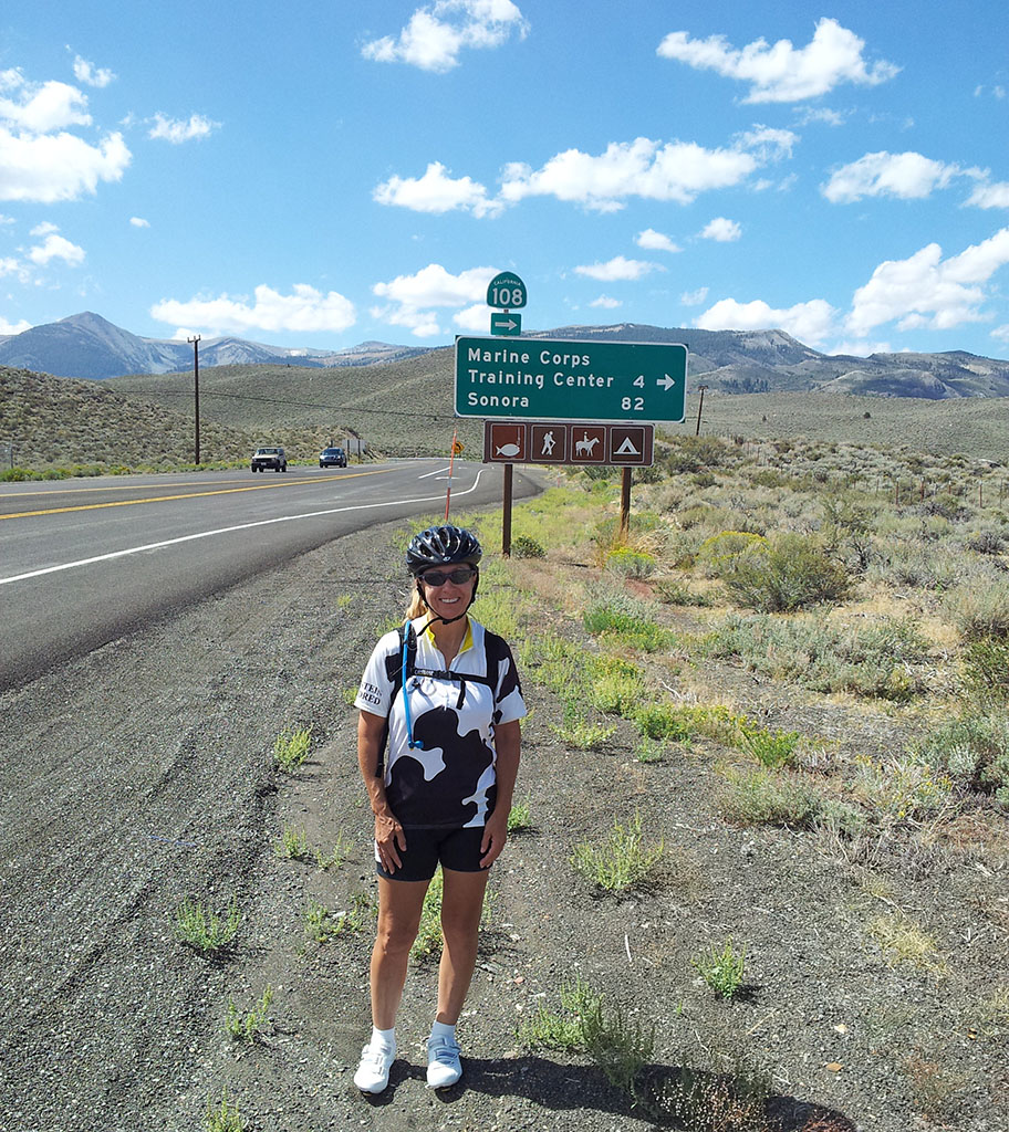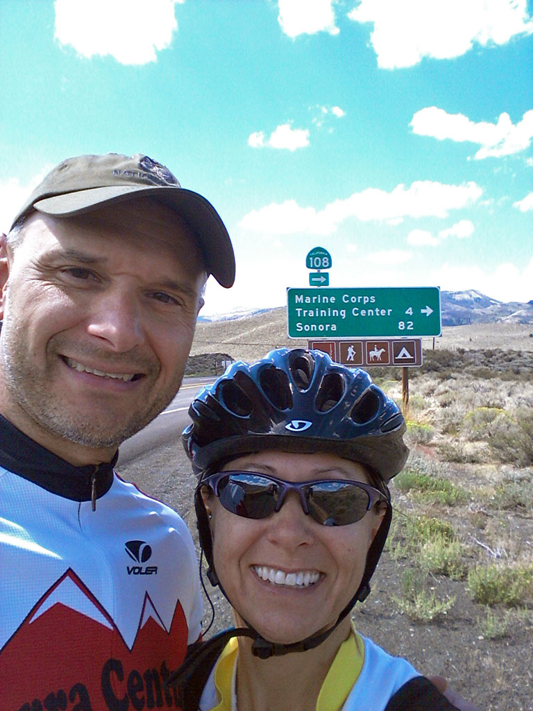
This weekend Andra and I decided to try to escape the haze and drive south to clearer air. We've only had a few bad days with smoke from the California fires, but recently the winds brought some our way. After consulting Cal-Fire and various satellite images, we decided to drive down to HWY 108 for our weekend bike ride. Andra is standing on HWY 395 just before the turn off for HWY 108 to Sonora. As expected the air is much better here.

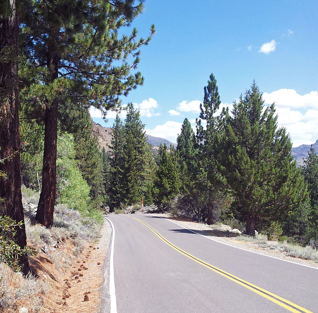
Our plan was to ride up the pass as far as we thought safe, and then return to the car. The car is parked near 7000ft. Sonora pass peaks out over 9600 ft making the air thinner the further you ride. The grades are incredibly steep with sections as steep as 26%. I had looked at the elevation profile before leaving the house and knew that if we could get past the hairpins on the far side of Leavitt Station, that the road would level out into the "relaxing" single digits. I planned to stop before encountering any additional 20%+ sections. If the mapping software's hints about what to expect weren't enough, perhaps the reactions of motorists should have added additional enlightenment.
