

The next day we set off for the longest segment of the trip. How long you ask? No one is really sure. Had my newer GPS not died, I could tell you, but all the trail maps and signs are wrong and the old GPS rarely was working to track our route. Prior to the trip I estimated this segment was somewhere between twelve and fourteen miles. Due to the sections with switchbacks and the resolution of my computer maps, it is impossible to pin down an exact figure without walking it with a quality GPS.
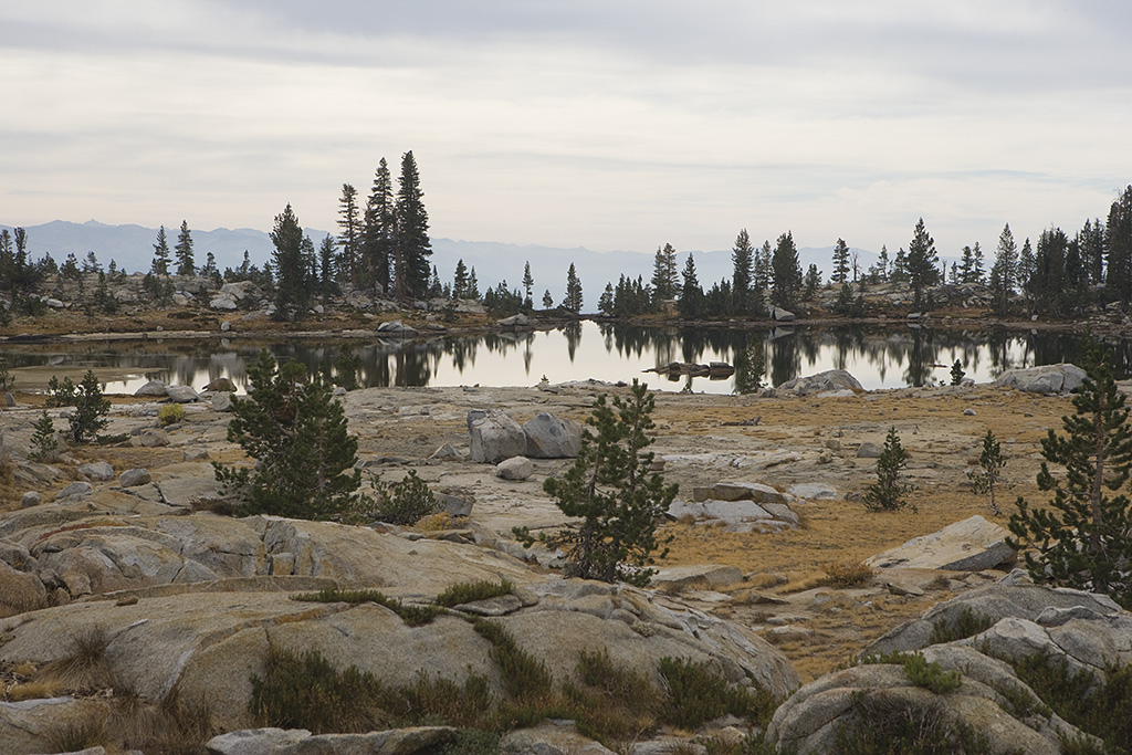
Pictured is Isberg Lake. We've left Saddler and are now hiking to Isberg Pass. Isberg Pass is about 10,500ft high. The plan is to hike from Saddler Lake (at about 9400ft), up over Isberg Pass, and down to Washburn Lake at 7600ft. At Washburn, we'd spend two nights. Well - at least that's the plan.