|
|
||
|
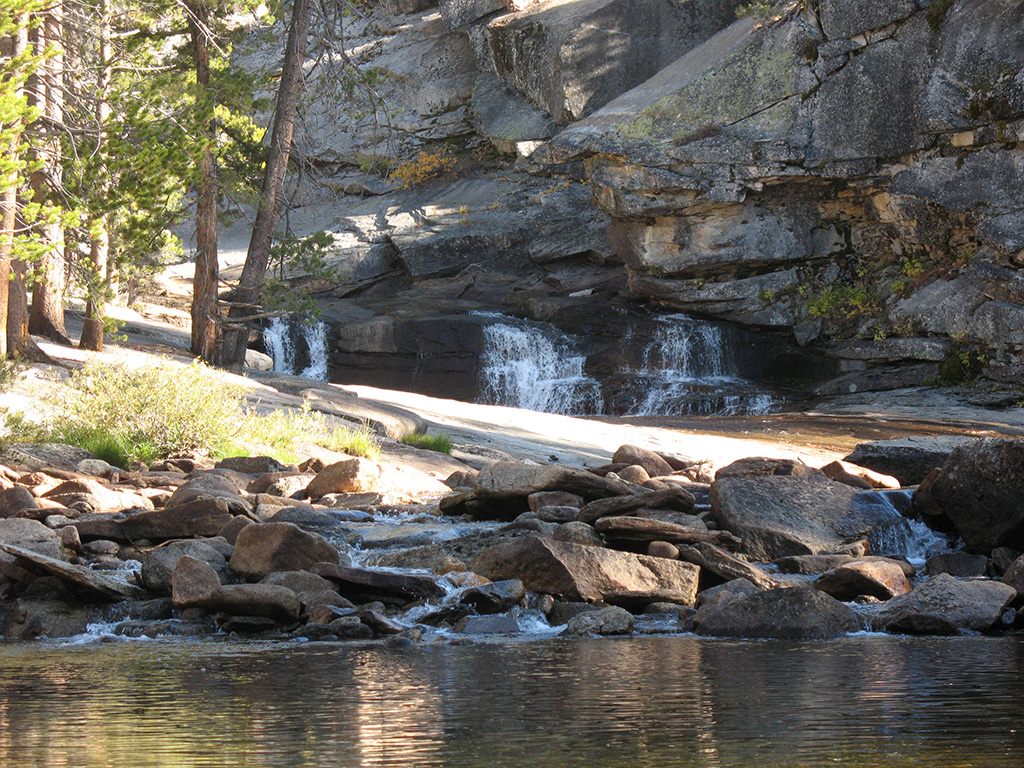
The river cascades down the rocks
near our camp and into the river. |
||
|
|
||
|
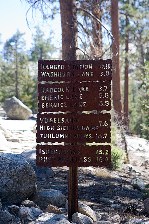
I took a picture of the trail sign near our camp. The
really cool thing is we've hiked to nearly all of these destinations
throughout the years. The mileage to Isberg Pass is quite suspect. In fact,
nearly all the signs along our route were bogus. When I was trying to
calculate the trail distances before leaving, I noticed that my two paper
maps disagreed on the distance of this segment. I checked the computer
software but as I mentioned earlier, computer software under estimates
distances when there are lots of switchbacks. Since I couldn't get a
consistent number, I went to REI and looked at three more paper maps. Each of
those gave yet another distance. Amazingly, not one map matched the other.
I'm no genius, but I'd "guess" that at least four of the five maps
were completely wrong, as is this sign. |
||
|
|
||
|
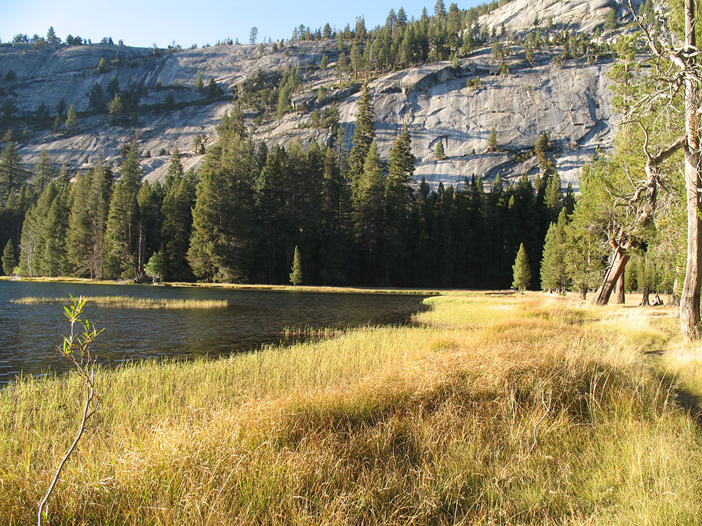
As the sun started to set, Andra and I headed back to the
lake to get some additional photos. |
||


