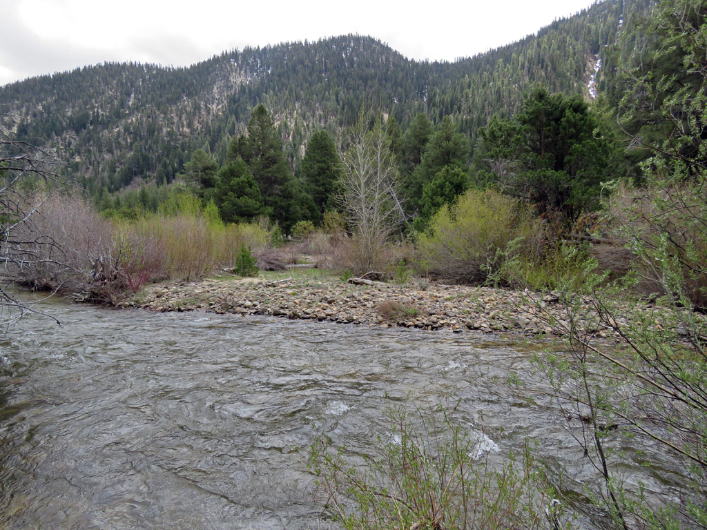
After leaving a series of pine cones and wood arrows to help us relocate the crossing point as we return, we have worked our way upstream and this picture is directly across from our camp. In fact, if you look carefully, you can see our tent in the distance. The overcast skies and swirling water prevent you from looking into the river as pictured, but I estimate the depth to be about 4 feet here. This is where the trail crosses the river in late summer. Four foot depths would mean swimming it even for someone my size.
I carefully studied the area where we crossed as we walked away and also left makeshift markers. Remember, there is no trail to the crossing point. It requires bushwhacking, crossing marshes, small streams etc, to reach the area and river's edge. Unless you have substantial wilderness experience, leaving the trail is extremely dangerous. I like to remind people that most stories of people dying in the book "Over the Edge, Death in the Grand Canyon" start with "and then Joe decided to leave the trail." If you have poor navigation skills, don't even think about it.


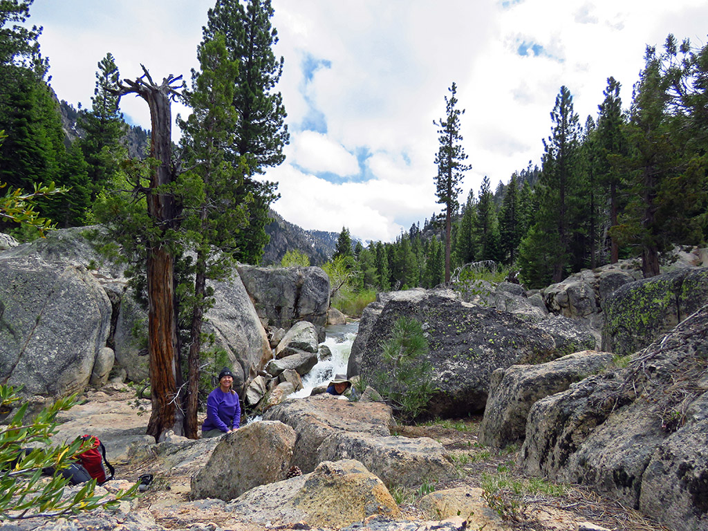
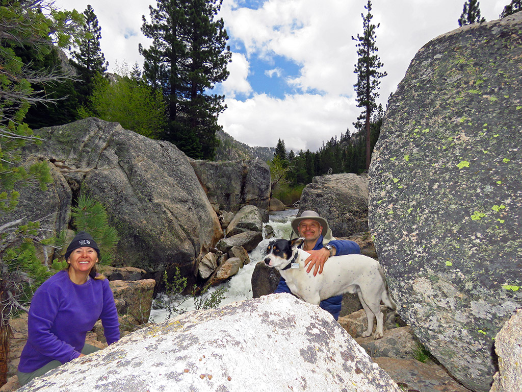
Patches of blue sky emerge and disappear as we have a bite.